No products
Orkney Maps
- Latest Releases
- Signed Copy Event Pre-orders
- Orkney Guidebooks, Travel Books & Maps
- Calendars, Gifts & Souvenirs
- Orkney Christmas Cards
- Orkney Fiction, Poetry, Folklore & Myths
- George Mackay Brown
- Children's
- Local Author - non-Orkney Related Titles
- Orkney Life, People & Places
- Orkney History
- Maritime
- Photos, Art, Music, Food & Sport
- Nature
- Shetland Books & Maps
- Sale
- 'The Orcadian' Subscriptions
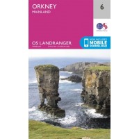
Maps; Orkney OS Maps (regular and 'active' laminated), pocket maps, Scotland maps.
Orkney Maps There are 26 products.
-
-
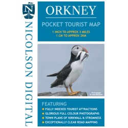
Orkney - Pocket Tourist Map
Ideal for your visit to Orkney. Tourist attractions & places are clearly marked. Detailed street maps included for main towns within the area shown. Topography is shown by layer tints & peak heights. Quality information for a budget-friendly price!
£ 3.99 -
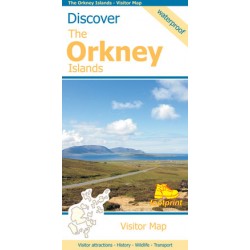
Footprint Discover The Orkney Islands Map
Visitor Map Visitor attractions - History - Wildlife - Transport This map is the perfect companion to take for exploring the Orkney Islands. Including a small street map of Kirkwall. Scale 1:120,000 Waterproof.
£ 9.95 -
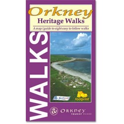
Orkney Heritage Walks
A map/guide to eight easy to follow walks of varying length and difficulty which explore the human heritage of the Orkney Islands. This guide has been prepared and published by Footprint in association with Orkney Tourist Board.
£ 5.95 -
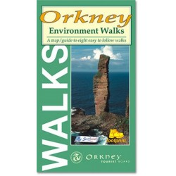
Orkney Environment Walks
A map/guide to eight easy to follow walks of varying length and difficulty which explore the environmental diversity of the Orkney Islands. This guide has been prepared and published by Footprint in association with Orkney Tourist Board.
£ 5.95 -
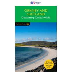
Orkney & Shetland - OS Pathfinder Book -...
Ordnance Survey Pathfinder series. Outstanding Circular Walks in Orkney & Shetland. - 28 Great country walks from 1 3/4 to 6 3/4 miles. - Clear, large scale Ordnance Survey route maps. - GPS references for all routes. Paperback book.
£ 12.99 -
Imray Chart C68: Cape Wrath to Wick and...
Plans included:Pierowall Harbour (1:40 000), Whitehall Harbour (1:25 000), Bay of Kirkwall (1:12 500), Stromness Harbour (1:12 500), Scrabster Harbour (1:7500), Wick Bay (1:10 000). March 2022 edition, the latest depths have been applied where available. The chart specification has been improved to show coloured light flashes. There has been general...
£ 21.95 -
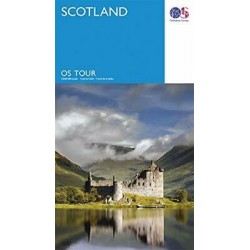
Scotland - OS Tour Map
Ordnance Survey Tour Map Scotland, including islands 1:500 000 scale 1cm to 5km - 1 inch to 8 miles
£ 6.99 -
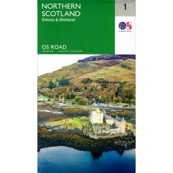
Northern Scotland, Orkney & Shetland - 1 -...
Ordnance Survey Map. Northern Scotland, Orkney & Shetland, 1, OS Road Map. 1:250 000 scale, 1cm to 2.5km - 1 inch to 4 miles.
£ 7.99 -
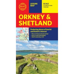
Philip's Orkney & Shetland Leisure Map
Leisure and tourist map featuring places of tourist and historic interest. Orkney and Shetland. 1:160 000 scale. 2 1/2 miles to 1 inch.
£ 6.99 -
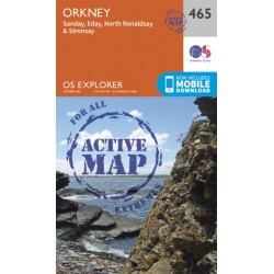
Orkney - Sanday, Eday, North Ronaldsay and...
Ordnance Survey Explorer Series Map. ACTIVE - Weatherproof fully laminated version. Orkney - covering Sanday, Eday, North Ronaldsay & Stronsay. 1:25 000 4cm to 1km - 2 1/2 inches to 1 mile Now includes mobile download. Standard Version available here.
£ 16.99 -
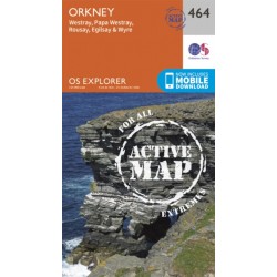
Orkney - Westray, Papa Westray, Rousay,...
Ordnance Survey Explorer Series Map. ACTIVE - Weatherproof fully laminated version. Orkney - covering Westray, Papa Westray, Rousay, Egilsay & Wyre. 1:25 000 4cm to 1km - 2 1/2 inches to 1 mile Now includes mobile download. Standard Version available here.
£ 16.99

